Ficheiro:California's 30th congressional district map.png

Dimensões desta antevisão: 800 × 448 píxeis. Outras resoluções: 320 × 179 píxeis | 802 × 449 píxeis.
Imagem numa resolução maior (802 × 449 píxeis, tamanho: 30 kB, tipo MIME: image/png)
|
|
Esta imagem provém do Wikimedia Commons, um acervo de conteúdo livre da Wikimedia Foundation que pode ser utilizado por outros projetos.
|
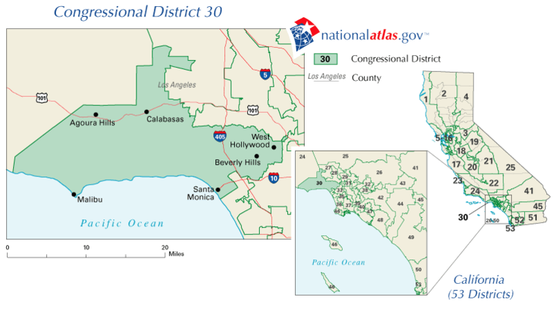
| Descrição | California's Former 30th congressional district (defunct boundaries as of 2003) | |||
| Origem | nationalatlas.gov | |||
| Autor | nationalatlas.gov | |||
| Permissão (Reutilizar este ficheiro) |
|
Histórico do ficheiro
Clique uma data e hora para ver o ficheiro tal como ele se encontrava nessa altura.
| Data e hora | Miniatura | Dimensões | Utilizador | Comentário | |
|---|---|---|---|---|---|
| atual | 14h35min de 3 de março de 2008 | | 802 × 449 (30 kB) | Gridge | {{Information |Description=California's 30th congressional district |Source=[http://nationalatlas.gov/printable/congress.html nationalatlas.gov] |Date= |Author=[http://nationalatlas.gov/printable/congress.html nationalatlas.gov] |Permission={{PD-USGov}} | |
Utilização local do ficheiro
A seguinte página usa este ficheiro:
Utilização global do ficheiro
As seguintes wikis usam este ficheiro:
- en.wikipedia.org
- fr.wikipedia.org