Ficheiro:Cheshire UK location map.svg

Dimensões desta antevisão em PNG do ficheiro SVG: 778 × 599 píxeis Outras resoluções: 312 × 240 píxeis | 623 × 480 píxeis | 997 × 768 píxeis | 1 280 × 986 píxeis | 2 560 × 1 973 píxeis | 1 425 × 1 098 píxeis.
Imagem numa resolução maior (ficheiro SVG, de 1 425 × 1 098 píxeis, tamanho: 2,23 MB)
|
|
Esta imagem provém do Wikimedia Commons, um acervo de conteúdo livre da Wikimedia Foundation que pode ser utilizado por outros projetos.
|
| Descrição |
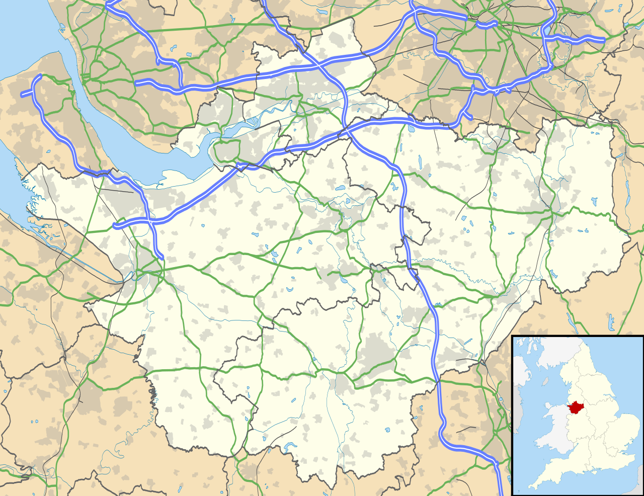
Map of Cheshire, UK with the following information shown:
Equirectangular map projection on WGS 84 datum, with N/S stretched 165% Geographic limits:
|
| Data | |
| Origem |
|
| Autor | Nilfanion, created using Ordnance Survey data |
| Permissão (Reutilizar este ficheiro) |
A utilização deste ficheiro é regulada nos termos da licença Creative Commons - Atribuição-CompartilhaIgual 3.0 Não Adaptada. Atribuição: Contains Ordnance Survey data © Crown copyright and database right
|
| Outras versões | File:Cheshire UK district map (blank).svg - Blank map |
.svg)
Histórico do ficheiro
Clique uma data e hora para ver o ficheiro tal como ele se encontrava nessa altura.
| Data e hora | Miniatura | Dimensões | Utilizador | Comentário | |
|---|---|---|---|---|---|
| atual | 18h42min de 26 de setembro de 2010 | | 1 425 × 1 098 (2,23 MB) | Nilfanion | {{Information |Description=Map of Cheshire, UK with the following information shown: *Administrative borders *Coastline, lakes and rivers *Roads and railways *Urban areas Equirectangular map projection on WGS 84 datum, with N/S stretched 1 |
Utilização local do ficheiro
A seguinte página usa este ficheiro:
Utilização global do ficheiro
As seguintes wikis usam este ficheiro:
- ar.wikipedia.org
- arz.wikipedia.org
- bg.wikipedia.org
- bn.wikipedia.org
- ca.wikipedia.org
- ceb.wikipedia.org
- diq.wikipedia.org
- el.wikipedia.org
- en.wikipedia.org
- Cheshire
- Peckforton Castle
- Aldford
- Bunbury, Cheshire
- Chester
- Audlem
- Beeston, Cheshire
- Bollington
- Chester Castle
- Congleton
- Disley
- Lyme Park
- Farndon, Cheshire
- Frodsham
- Gawsworth
- Gawsworth Old Hall
- Great Budworth
- Marston, Cheshire
- Knutsford
- Langley, Cheshire
- Crewe
- Kelsall
- Nantwich
- Runcorn
- Latchford, Cheshire
- Macclesfield
- Woolston, Cheshire
- Daresbury
- Great Sankey
- Winwick, Cheshire
- Penketh
- Ellesmere Port
- Neston
- Croft, Cheshire
- Alsager
- Northwich
- Tattenhall
- Lymm
- Padgate
- Birchwood, Cheshire
Ver mais utilizações globais deste ficheiro.