Ficheiro:National-atlas-rhode-island.png
Sem resolução maior disponível.
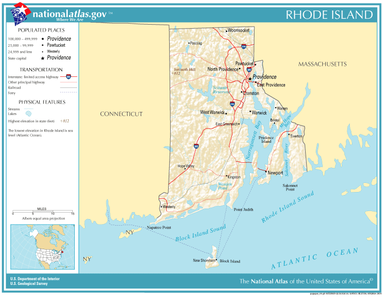
National-atlas-rhode-island.png (763 × 591 píxeis, tamanho: 74 kB, tipo MIME: image/png)
|
|
Esta imagem provém do Wikimedia Commons, um acervo de conteúdo livre da Wikimedia Foundation que pode ser utilizado por outros projetos.
|
Descrição do ficheiro
Transferido de en.wikipedia para a wiki Commons por Maksim.
A página de descrição original está aqui. Todos os nomes de utilizador a seguir referem-se a en.wikipedia.
Licenciamento
This map was obtained from an edition of the National Atlas of the United States. Like almost all works of the U.S. federal government, works from the National Atlas are in the public domain in the United States.
Online access: NationalAtlas.gov | 1970 print edition: Library of Congress, Perry-Castañeda Library
|
| date/time | username | edit summary |
|---|---|---|
| 22:27, 30 November 2004 | en:User:Jengod | |
| 20:31, 4 November 2004 | en:User:Jengod | ({{PD-USGov}} <a href="/wiki/Category:Rhode_Island_maps" title="Category:Rhode Island maps">Category:Rhode Island maps</a>) |
Registo de carregamento original
Legend: (cur) = this is the current file, (del) = delete this old version, (rev) = revert to this old version.
Click on date to download the file or see the image uploaded on that date.
- (del) (cur) 11:32, 13 December 2004 . . en:User:Berkut Berkut ( en:User_talk:Berkut Talk) . . 763x591 (75354 bytes) (reduced file size)
- (del) (rev) 20:31, 4 November 2004 . . en:User:Jengod Jengod ( en:User_talk:Jengod Talk) . . 763x591 (189814 bytes) ({ { PD-USGov } } en:Category:Rhode_Island_maps Category:Rhode Island maps)
Histórico do ficheiro
Clique uma data e hora para ver o ficheiro tal como ele se encontrava nessa altura.
| Data e hora | Miniatura | Dimensões | Utilizador | Comentário | |
|---|---|---|---|---|---|
| atual | 11h31min de 28 de janeiro de 2006 | | 763 × 591 (74 kB) | Maksim | La bildo estas kopiita de wikipedia:en. La originala priskribo estas: {{PD-USGov-Atlas}} Category:Rhode Island maps {| border="1" ! date/time || username || edit summary |---- | 22:27, 30 November 2004 || en:User:Jengod || <nowiki></nowiki> |-- |
Utilização local do ficheiro
As seguintes 4 páginas usam este ficheiro:
Utilização global do ficheiro
As seguintes wikis usam este ficheiro:
- af.wikipedia.org
- ca.wikipedia.org
- da.wikipedia.org
- en.wikipedia.org
- eo.wikipedia.org
- fr.wikipedia.org
- incubator.wikimedia.org
- is.wikipedia.org
- it.wikipedia.org
- ja.wikipedia.org
- kn.wikipedia.org
- lb.wikipedia.org
- nds-nl.wikipedia.org
- nl.wikipedia.org
- nn.wikipedia.org
- pl.wikipedia.org
- sh.wikipedia.org
- ur.wikipedia.org