Ficheiro:Sea Gate aerial view.jpg
Dimensões desta antevisão: 800 × 534 píxeis. Outras resoluções: 320 × 214 píxeis | 640 × 428 píxeis | 1 024 × 684 píxeis | 1 500 × 1 002 píxeis.
Imagem numa resolução maior (1 500 × 1 002 píxeis, tamanho: 657 kB, tipo MIME: image/jpeg)
|
|
Esta imagem provém do Wikimedia Commons, um acervo de conteúdo livre da Wikimedia Foundation que pode ser utilizado por outros projetos.
|
| Descrição |
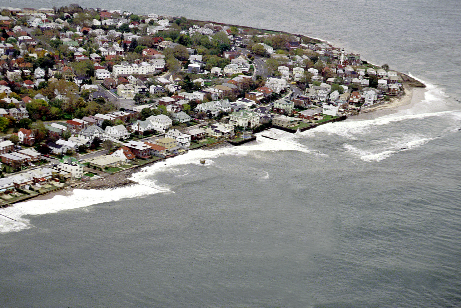
English: Aerial view of the Sea Gate community located on the westernmost extremity of Coney Island, Brooklyn, New York City. |
|||
| Data | ||||
| Origem |
U.S. Army Corps of Engineers Digital Visual Library Image page Image description page Digital Visual Library home page |
|||
| Autor | U.S. Army Corps of Engineers, photographer not specified or unknown | |||
| Permissão (Reutilizar este ficheiro) |
|
|||
| Local | Brooklyn, New York City, New York, USA |
| Localização do objecto | | Esta e outras imagens nas suas localizações em: OpenStreetMap |
|---|
Histórico do ficheiro
Clique uma data e hora para ver o ficheiro tal como ele se encontrava nessa altura.
| Data e hora | Miniatura | Dimensões | Utilizador | Comentário | |
|---|---|---|---|---|---|
| atual | 05h01min de 9 de abril de 2007 | | 1 500 × 1 002 (657 kB) | DanMS | {{Information | Description = {{en|Aerial view of the Sea Gate community located on the westernmost extremity of Coney Island, Brooklyn, New York City.}} | Source = U.S. Army Corps of Engineers Digital Visual Library<br />[http://images.usace.a |
Utilização local do ficheiro
As seguintes 2 páginas usam este ficheiro:
Utilização global do ficheiro
As seguintes wikis usam este ficheiro:
- de.wikipedia.org
- en.wikipedia.org
- es.wikipedia.org
- et.wikipedia.org
- he.wikipedia.org
- ja.wikipedia.org
- sv.wikipedia.org
- vi.wikipedia.org
- www.wikidata.org
- yi.wikipedia.org