Ficheiro:90mile beach nz landsatimage.jpg

Dimensões desta antevisão: 800 × 593 píxeis. Outras resoluções: 320 × 237 píxeis | 640 × 474 píxeis | 1 024 × 758 píxeis | 1 280 × 948 píxeis.
Imagem numa resolução maior (1 280 × 948 píxeis, tamanho: 101 kB, tipo MIME: image/jpeg)
|
|
Esta imagem provém do Wikimedia Commons, um acervo de conteúdo livre da Wikimedia Foundation que pode ser utilizado por outros projetos.
|
Descrição do ficheiro
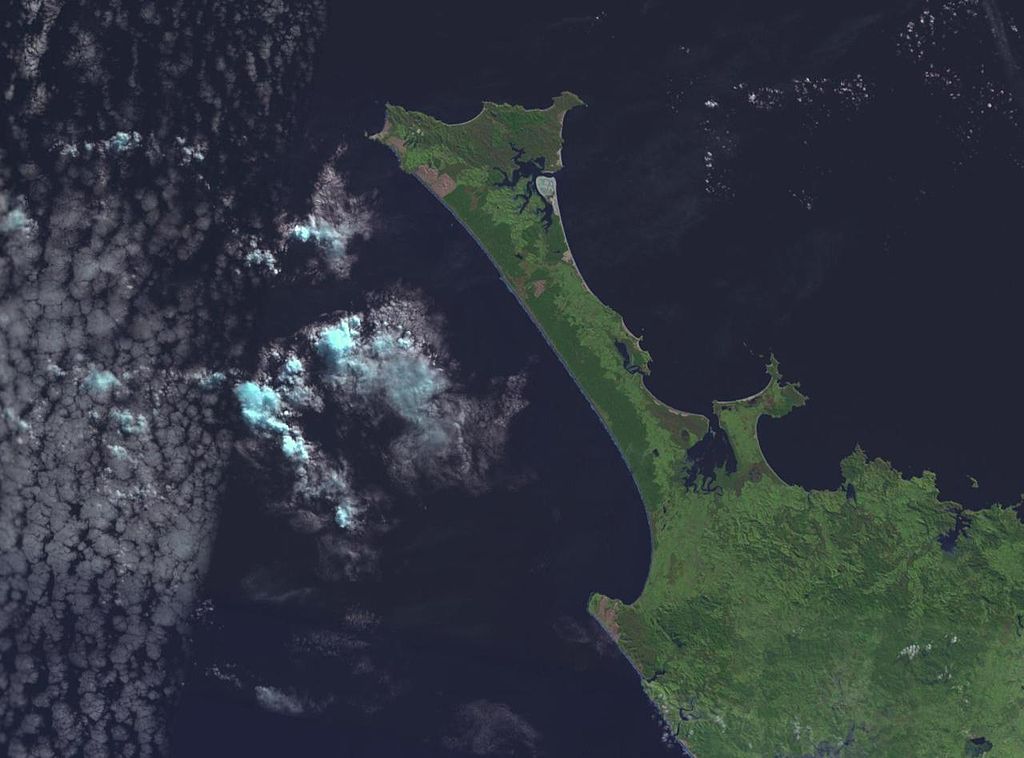
NASA World wind image of Aupouri Peninsula in New Zealand. Ninety Mile Beach, New Zealand is on the west (left) side of the peninsula.

Licenciamento
| This image is in the public domain because it is a screenshot from NASA’s globe software World Wind using a public domain layer, such as Blue Marble, MODIS, Landsat, SRTM, USGS or GLOBE.
|
 |
derivative works
Obras derivadas deste ficheiro: 90mile beach nz landsatimage crop.jpg
Histórico do ficheiro
Clique uma data e hora para ver o ficheiro tal como ele se encontrava nessa altura.
| Data e hora | Miniatura | Dimensões | Utilizador | Comentário | |
|---|---|---|---|---|---|
| atual | 18h52min de 1 de setembro de 2005 | | 1 280 × 948 (101 kB) | Klipp~commonswiki | NASA World wind image of Aupouri Peninsula in New Zealand. Ninety Mile Beach, New Zealand is on the west (left) side of the peninsula. |
Utilização local do ficheiro
A seguinte página usa este ficheiro:
Utilização global do ficheiro
As seguintes wikis usam este ficheiro:
- az.wikipedia.org
- bn.wikipedia.org
- ceb.wikipedia.org
- cy.wikipedia.org
- de.wikipedia.org
- de.wikivoyage.org
- en.wikipedia.org
- en.wikivoyage.org
- es.wikipedia.org
- fr.wikipedia.org
- he.wikipedia.org
- id.wikipedia.org
- it.wikipedia.org
- ko.wikipedia.org
- nn.wikipedia.org
- no.wikipedia.org
- pl.wikipedia.org
- ru.wikipedia.org
- sv.wikipedia.org
- www.wikidata.org