Ficheiro:Baltimore-Washington TAC 84.png

Dimensões desta antevisão: 800 × 585 píxeis. Outras resoluções: 320 × 234 píxeis | 640 × 468 píxeis | 1 024 × 749 píxeis | 1 280 × 936 píxeis | 2 560 × 1 871 píxeis | 4 000 × 2 924 píxeis.
Imagem numa resolução maior (4 000 × 2 924 píxeis, tamanho: 6,85 MB, tipo MIME: image/png)
|
|
Esta imagem provém do Wikimedia Commons, um acervo de conteúdo livre da Wikimedia Foundation que pode ser utilizado por outros projetos.
|
| Descrição |
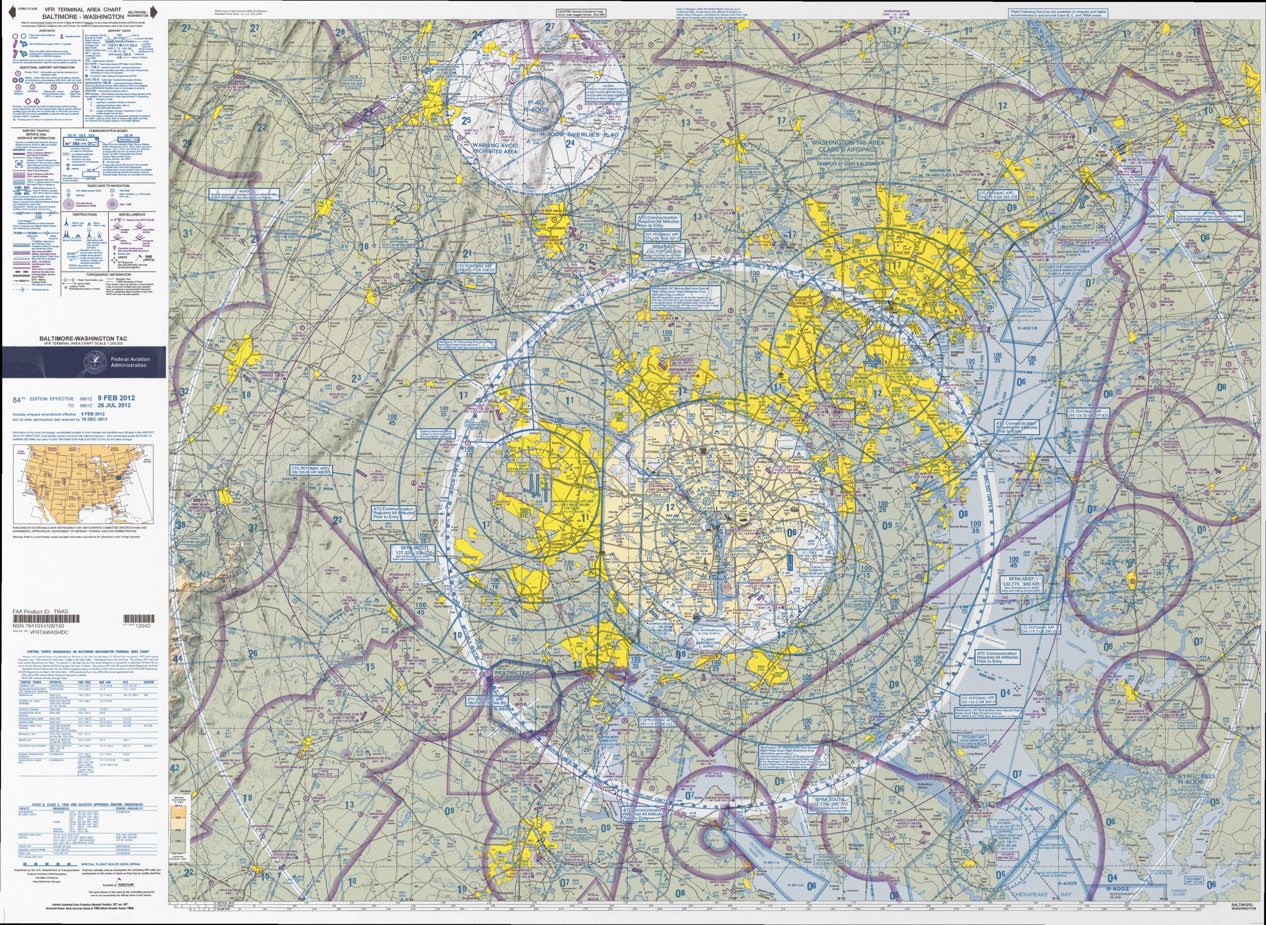
English: VFR Terminal Area Raster Aeronautical Chart Baltimore/Washington, 82nd edition. This map is valid until 26 de julho de 2012; be sure to get the newest edition at the official FAA website |
| Data |
|
| Origem | Baltimore-Washington_TAC_84.tif in Baltimore-Washington_TAC_84.zip. Note: The ZIP-File may become unavailable when the map is updated, newer editions will be available here |
| Autor | US Department of Transportation, Federal Aviation Administration, National Aeronautical Navigation Services |
| Outras versões |
This image or file is a work of a Federal Aviation Administration employee, taken or made as part of that person's official duties. As a work of the U.S. federal government, the image is in the public domain in the United States.
|
 |
Histórico do ficheiro
Clique uma data e hora para ver o ficheiro tal como ele se encontrava nessa altura.
| Data e hora | Miniatura | Dimensões | Utilizador | Comentário | |
|---|---|---|---|---|---|
| atual | 15h32min de 24 de maio de 2012 | | 4 000 × 2 924 (6,85 MB) | El Grafo | smaller version to enable thumbnailing |
| 15h20min de 24 de maio de 2012 |  | 8 042 × 5 879 (25,86 MB) | El Grafo | {{Information |Description={{en|1=VFR Terminal Area Raster Aeronautical Chart Baltimore/Washington, 82nd edition. This map is valid until {{date|2012|07|26}}, be sure to get the newest edition at the official [http://aeronav.faa.gov/index.asp?xml=aeron... | |
| 15h11min de 24 de maio de 2012 |  | 8 042 × 5 879 (25,86 MB) | El Grafo | {{Information |Description={{en|1=VFR Terminal Area Raster Aeronautical Chart Baltimore/Washington, 82nd edition. This map is valid until {{date|2012|07|26}}, be sure to get the newest edition at the official [http://aeronav.faa.gov/index.asp?xml=aeron... |
Utilização local do ficheiro
A seguinte página usa este ficheiro:
Utilização global do ficheiro
As seguintes wikis usam este ficheiro:
- en.wikipedia.org
- it.wikipedia.org
- ja.wikipedia.org
- ko.wikipedia.org