Ficheiro:Interstate Highway plan September 1955.jpg

Imagem numa resolução maior (1 799 × 1 268 píxeis, tamanho: 123 kB, tipo MIME: image/jpeg)
|
|
Esta imagem provém do Wikimedia Commons, um acervo de conteúdo livre da Wikimedia Foundation que pode ser utilizado por outros projetos.
|
| Descrição | ||||
| Data | ||||
| Origem |
|
|||
| Autor | Public Roads Administration - Federal Works Agency (predecessor to the United States Department of Transportation). | |||
| Permissão (Reutilizar este ficheiro) |
|


| Interstate Highway System planning maps | ||
|---|---|---|
| August 2, 1947 map 1 - map 2 |
September 1955 | August 14, 1957 |
Histórico do ficheiro
Clique uma data e hora para ver o ficheiro tal como ele se encontrava nessa altura.
| Data e hora | Miniatura | Dimensões | Utilizador | Comentário | |
|---|---|---|---|---|---|
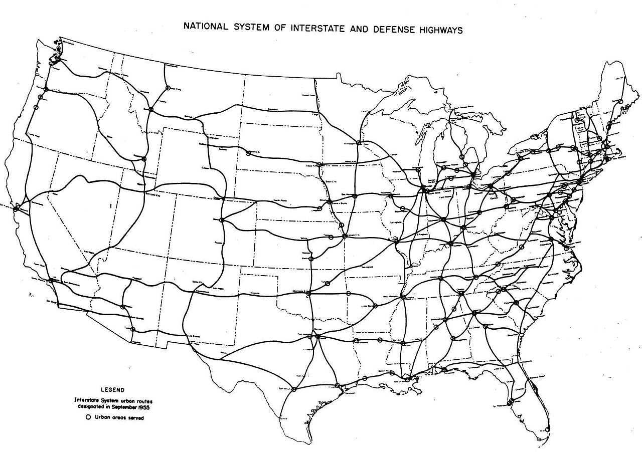
| atual | 05h54min de 25 de dezembro de 2005 | | 1 799 × 1 268 (123 kB) | SPUI~commonswiki | {{PD-USGov}} October 1957 map of the Interstate Highway System, from [http://www.kurumi.com/roads/3di/pics/map-isr-sep55.jpg]. Map 19571000 Category:road maps |
Utilização local do ficheiro
As seguintes 2 páginas usam este ficheiro:
Utilização global do ficheiro
As seguintes wikis usam este ficheiro:
- en.wikipedia.org
- fr.wikipedia.org
- pl.wikipedia.org
- vi.wikipedia.org