Ficheiro:Koror, Caroline Islands city graphic.jpg

Dimensões desta antevisão: 800 × 534 píxeis. Outras resoluções: 320 × 214 píxeis | 640 × 427 píxeis | 1 024 × 683 píxeis | 1 280 × 854 píxeis | 2 560 × 1 708 píxeis | 4 439 × 2 962 píxeis.
Imagem numa resolução maior (4 439 × 2 962 píxeis, tamanho: 2,56 MB, tipo MIME: image/jpeg)
|
|
Esta imagem provém do Wikimedia Commons, um acervo de conteúdo livre da Wikimedia Foundation que pode ser utilizado por outros projetos.
|
Descrição do ficheiro
| Descrição |
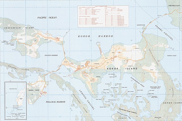
English: Map of Koror in the Caroline Islands (modern day Palau), 1:12,500 scale |
| Data | |
| Origem | https://nla.gov.au/nla.obj-234178660/view |
| Autor | Department of Defense, 652d Engineer Battalion |
Licenciamento
This image or file is a work of a U.S. Army Corps of Engineers soldier or employee, taken or made as part of that person's official duties. As a work of the U.S. federal government, the image is in the public domain.
|
Histórico do ficheiro
Clique uma data e hora para ver o ficheiro tal como ele se encontrava nessa altura.
| Data e hora | Miniatura | Dimensões | Utilizador | Comentário | |
|---|---|---|---|---|---|
| atual | 14h53min de 9 de junho de 2021 | | 4 439 × 2 962 (2,56 MB) | Zoozaz1 | Uploaded a work by Department of Defense, 652d Engineer Battalion from https://nla.gov.au/nla.obj-234178660/view with UploadWizard |
Utilização local do ficheiro
A seguinte página usa este ficheiro:
Utilização global do ficheiro
As seguintes wikis usam este ficheiro:
- ar.wikipedia.org
- arz.wikipedia.org
- ca.wikipedia.org
- en.wikipedia.org
- eo.wikipedia.org
- es.wikipedia.org
- eu.wikipedia.org
- ht.wikipedia.org
- hu.wikipedia.org
- pl.wikivoyage.org
- ro.wikipedia.org
- th.wikipedia.org
- tl.wikipedia.org
- vep.wikipedia.org
- www.wikidata.org