Ficheiro:Lancashire UK district map (blank).svg

Dimensões desta antevisão em PNG do ficheiro SVG: 513 × 600 píxeis Outras resoluções: 205 × 240 píxeis | 410 × 480 píxeis | 657 × 768 píxeis | 876 × 1 024 píxeis | 1 751 × 2 048 píxeis | 1 116 × 1 305 píxeis.
Imagem numa resolução maior (ficheiro SVG, de 1 116 × 1 305 píxeis, tamanho: 1,25 MB)
|
|
Esta imagem provém do Wikimedia Commons, um acervo de conteúdo livre da Wikimedia Foundation que pode ser utilizado por outros projetos.
|
.svg)
| Descrição |
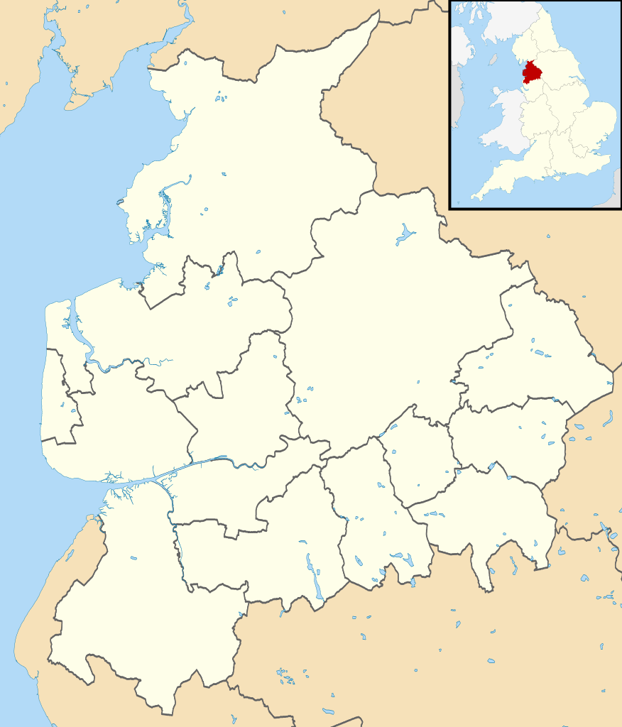
Map of Lancashire, UK with districts shown. Equirectangular map projection on WGS 84 datum, with N/S stretched 165% Geographic limits:
|
| Data | |
| Origem | Ordnance Survey OpenData. Most data from Boundary-Line product. Lake data from Meridian 2 product. Inset derived from England location map.svg by Spischot. |
| Autor | Nilfanion, created using Ordnance Survey data |
| Permissão (Reutilizar este ficheiro) |
A utilização deste ficheiro é regulada nos termos da licença Creative Commons - Atribuição-CompartilhaIgual 3.0 Não Adaptada. Atribuição: Contains Ordnance Survey data © Crown copyright and database right
|
| Outras versões | Obras derivadas deste ficheiro: Lancashire parish map.svg |
Histórico do ficheiro
Clique uma data e hora para ver o ficheiro tal como ele se encontrava nessa altura.
| Data e hora | Miniatura | Dimensões | Utilizador | Comentário | |
|---|---|---|---|---|---|
| atual | 08h12min de 22 de agosto de 2010 | | 1 116 × 1 305 (1,25 MB) | Nilfanion | +inset, water colour tweak |
| 23h41min de 16 de julho de 2010 |  | 1 116 × 1 305 (925 kB) | Nilfanion | {{Information |Description=Map of Lancashire, UK with districts shown. Equirectangular map projection on WGS 84 datum, with N/S stretched 165% Geographic limits: *West: 3.13W *East: 2.03W *North: 54.25N *South: 53.47N |Source=[[w:Ordnan |
Utilização local do ficheiro
Não há nenhuma página que use este ficheiro.
Utilização global do ficheiro
As seguintes wikis usam este ficheiro:
- ast.wikipedia.org
- de.wikipedia.org
- Blackpool Tower
- Fylde
- Kernkraftwerk Heysham
- Ewood Park
- Deepdale
- Turf Moor
- Victoria Park (Nelson)
- Singing Ringing Tree
- Morecambe Bay
- Blackpool Airport
- Bloomfield Road
- Vorlage:Positionskarte England Lancashire
- Mazuma Mobile Stadium
- Marsh Mill
- Little Marton Mill
- Crown Ground
- Skerton Bridge
- Lune Millennium Bridge
- Plover Scar Lighthouse
- Wolfhole Crag
- Trough of Bowland
- White Hill (Forest of Bowland)
- Ward’s Stone
- Beach Lighthouse (Fleetwood)
- Pharos Lighthouse (Fleetwood)
- Wyre Light
- Grit Fell
- Clougha Pike
- Parlick
- Fair Snape Fell
- Hawthornthwaite Fell
- Loyn Bridge
- Highbury Stadium (Fleetwood)
- Stocks Reservoir
- Roddlesworth Reservoirs
- Anglezarke Reservoir
- Rivington Reservoirs
- Yarrow Reservoir
- High Bullough Reservoir
- Foulridge-Tunnel
- Laneshaw Reservoir
- Ogden Reservoirs
- Black Moss Reservoirs
- Slipper Hill Reservoir
- Rowley Lake
- Browsholme Tarn
- Benutzer:Kai Vettermann/Astronomie
- Hill Top Colliery
- Fairy Holes
Ver mais utilizações globais deste ficheiro.
.svg)
.svg)