Ficheiro:MarethMap1943.png

Dimensões desta antevisão: 800 × 572 píxeis. Outras resoluções: 320 × 229 píxeis | 640 × 457 píxeis | 1 024 × 732 píxeis | 1 170 × 836 píxeis.
Imagem numa resolução maior (1 170 × 836 píxeis, tamanho: 236 kB, tipo MIME: image/png)
|
|
Esta imagem provém do Wikimedia Commons, um acervo de conteúdo livre da Wikimedia Foundation que pode ser utilizado por outros projetos.
|
Descrição do ficheiro
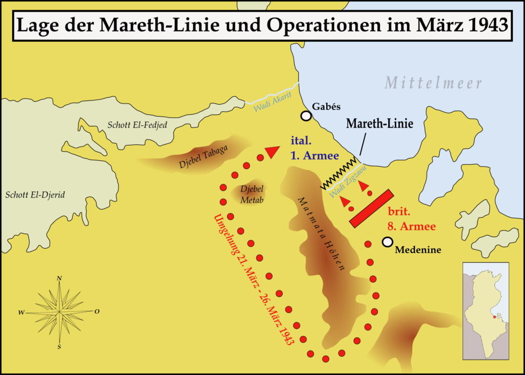
| Descrição | Map showing the situation of the Mareth line and the British attacks on it during March 1943 |
| Data | |
| Origem | Obra do próprio |
| Autor | Memnon335bc |
Licenciamento
Eu, titular dos direitos de autor desta obra, publico-a com as seguintes licenças:

|
É concedida permissão para copiar, distribuir e/ou modificar este documento nos termos da Licença de Documentação Livre GNU, versão 1.2 ou qualquer versão posterior publicada pela Free Software Foundation; sem Secções Invariantes, sem textos de Capa e sem textos de Contra-Capa. É incluída uma cópia da licença na secção intitulada GNU Free Documentation License. |
This file is licensed under the Creative Commons Attribution-Share Alike Attribution-Share Alike 4.0 International, 3.0 Unported, 2.5 Generic, 2.0 Generic and 1.0 Generic license.
- Pode:
- partilhar – copiar, distribuir e transmitir a obra
- recombinar – criar obras derivadas
- De acordo com as seguintes condições:
- atribuição – Tem de fazer a devida atribuição da autoria, fornecer uma hiperligação para a licença e indicar se foram feitas alterações. Pode fazê-lo de qualquer forma razoável, mas não de forma a sugerir que o licenciador o apoia ou subscreve o seu uso da obra.
- partilha nos termos da mesma licença – Se remisturar, transformar ou ampliar o conteúdo, tem de distribuir as suas contribuições com a mesma licença ou uma licença compatível com a original.
Pode escolher a licença que quiser.
Histórico do ficheiro
Clique uma data e hora para ver o ficheiro tal como ele se encontrava nessa altura.
| Data e hora | Miniatura | Dimensões | Utilizador | Comentário | |
|---|---|---|---|---|---|
| atual | 12h02min de 27 de março de 2008 | | 1 170 × 836 (236 kB) | Memnon335bc | {{Information |Description=Map showing the situation of the Mareth line and the Brith attacks on it during March 1943 |Source=self-made |Date=March 2008 |Author= Memnon335bc |Permission=granted |other_versions= }} |
| 10h56min de 27 de março de 2008 |  | 1 170 × 836 (234 kB) | Memnon335bc | {{Information |Description=Map showing the situation of the Mareth line and the Brith attacks on it during March 1943 |Source=self-made |Date=March 2008 |Author= Memnon335bc |Permission=granted |other_versions= }} |
Utilização local do ficheiro
Não há nenhuma página que use este ficheiro.
Utilização global do ficheiro
As seguintes wikis usam este ficheiro:
- de.wikipedia.org
- he.wikipedia.org
- ru.wikipedia.org