Ficheiro:Rote Island de.png

Dimensões desta antevisão: 800 × 589 píxeis. Outras resoluções: 320 × 235 píxeis | 640 × 471 píxeis | 1 024 × 753 píxeis | 1 280 × 942 píxeis | 1 514 × 1 114 píxeis.
Imagem numa resolução maior (1 514 × 1 114 píxeis, tamanho: 998 kB, tipo MIME: image/png)
|
|
Esta imagem provém do Wikimedia Commons, um acervo de conteúdo livre da Wikimedia Foundation que pode ser utilizado por outros projetos.
|
Descrição do ficheiro
| Descrição |
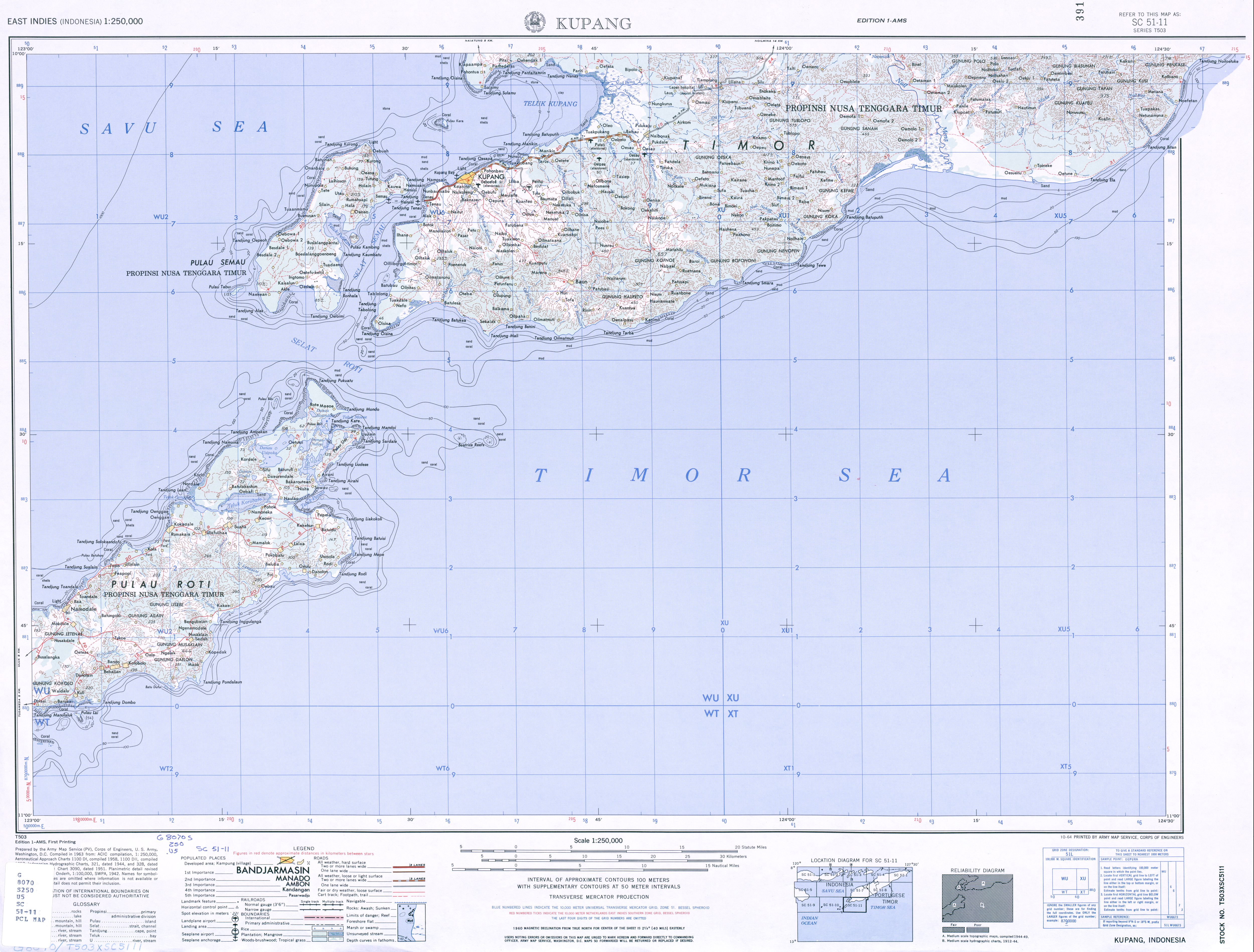
Deutsch: Karte von Roti, Indonesien
English: Map of Rote Island, Indonesia |
| Data | |
| Origem |
own work, used:
|
| Autor | Lencer |
| Outras versões |
|


|
Este mapa foi criado ou melhorado na Kartenwerkstatt (oficina gráfica) alemã. Você também pode propor mapas para serem melhorados.
|
Licenciamento
Eu, titular dos direitos de autor desta obra, publico-a com a seguinte licença:
A utilização deste ficheiro é regulada nos termos da licença Creative Commons - Atribuição-CompartilhaIgual 3.0 Não Adaptada.
- Pode:
- partilhar – copiar, distribuir e transmitir a obra
- recombinar – criar obras derivadas
- De acordo com as seguintes condições:
- atribuição – Tem de fazer a devida atribuição da autoria, fornecer uma hiperligação para a licença e indicar se foram feitas alterações. Pode fazê-lo de qualquer forma razoável, mas não de forma a sugerir que o licenciador o apoia ou subscreve o seu uso da obra.
- partilha nos termos da mesma licença – Se remisturar, transformar ou ampliar o conteúdo, tem de distribuir as suas contribuições com a mesma licença ou uma licença compatível com a original.
Histórico do ficheiro
Clique uma data e hora para ver o ficheiro tal como ele se encontrava nessa altura.
| Data e hora | Miniatura | Dimensões | Utilizador | Comentário | |
|---|---|---|---|---|---|
| atual | 15h13min de 26 de março de 2013 | | 1 514 × 1 114 (998 kB) | Lencer | Baadale => Ba'a |
| 15h10min de 26 de março de 2013 |  | 1 514 × 1 114 (999 kB) | Lencer | small fixes | |
| 08h40min de 26 de março de 2013 |  | 1 514 × 1 114 (980 kB) | Lencer | == {{int:filedesc}} == {{Information |Description= {{de|Karte von Roti}} {{en|Map of Rote Island}} |Source=own work, used: * GMT and SRTM3V2 * File:Indonesia location map.svg... |
Utilização local do ficheiro
As seguintes 2 páginas usam este ficheiro:
Utilização global do ficheiro
As seguintes wikis usam este ficheiro:
- ceb.wikipedia.org
- de.wikipedia.org
- Benutzer:Lencer
- Roti (Insel)
- Usu (Insel)
- Ndao (Insel)
- Nuse
- Lai (Insel)
- Manuk (Roti)
- Landu
- Liu (Insel)
- Ndoa
- Pamana
- Helihana
- Batu Bibi
- Rote Ndao
- Nusa Bibi
- Batuhun
- Wikipedia:Kartenwerkstatt/Archiv/2013-03
- Nusa Kodi
- Huana
- Boti (Insel)
- Nusa Manupui
- Nusa Nak
- Tapuafu
- Usipoka
- Ondo (Usipoka)
- Tanunu
- Aifo
- Bucht von Korobafo
- Bucht von Pepela
- Bucht von Maeoe
- Bucht von Hena
- Bucht von Buka
- Batutua
- Musaklain
- Nemberala
- en.wikipedia.org
- ja.wikipedia.org
- nl.wikipedia.org
- th.wikipedia.org
- www.wikidata.org