Ficheiro:Sandusky Ohio aerial view.jpg
Dimensões desta antevisão: 800 × 533 píxeis. Outras resoluções: 320 × 213 píxeis | 640 × 426 píxeis | 1 024 × 682 píxeis | 1 500 × 999 píxeis.
Imagem numa resolução maior (1 500 × 999 píxeis, tamanho: 761 kB, tipo MIME: image/jpeg)
|
|
Esta imagem provém do Wikimedia Commons, um acervo de conteúdo livre da Wikimedia Foundation que pode ser utilizado por outros projetos.
|
| Descrição |
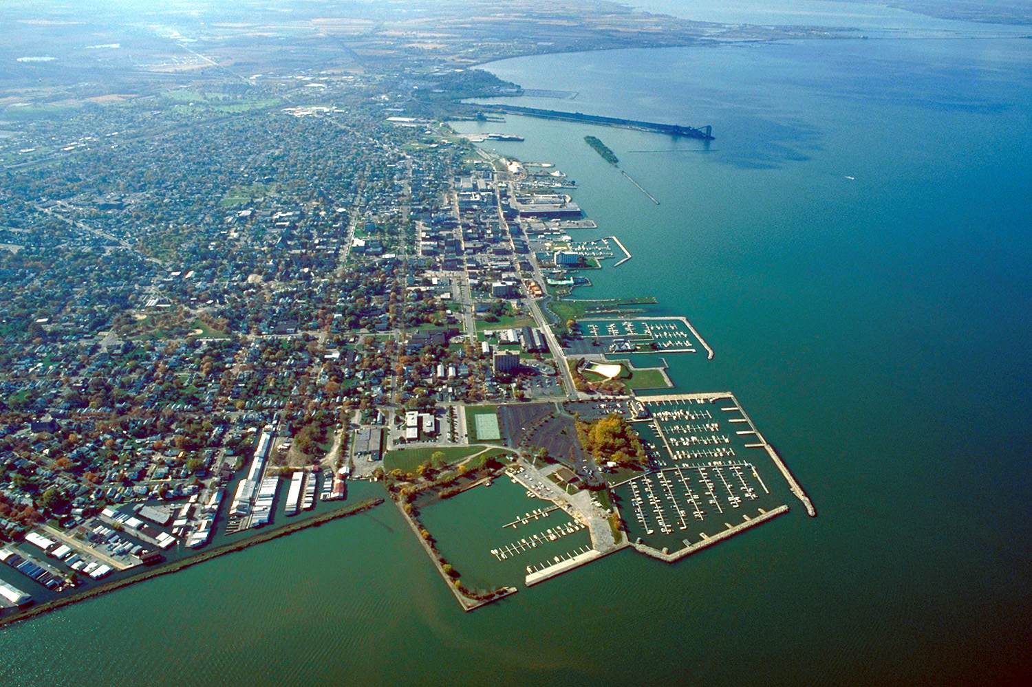
English: Aerial view of Sandusky, Ohio, USA. The view is to the west-southwest along the waterfront on Sandusky Bay, a large inlet and bay off of Lake Erie. |
|||
| Data | ||||
| Origem |
U.S. Army Corps of Engineers Digital Visual Library Image page Image description page Digital Visual Library home page |
|||
| Autor | Ken Winters, U.S. Army Corps of Engineers | |||
| Permissão (Reutilizar este ficheiro) |
|
|||
| Local | Sandusky, Ohio, USA |
| Localização da câmara | | Esta e outras imagens nas suas localizações em: OpenStreetMap |
|---|
Histórico do ficheiro
Clique uma data e hora para ver o ficheiro tal como ele se encontrava nessa altura.
| Data e hora | Miniatura | Dimensões | Utilizador | Comentário | |
|---|---|---|---|---|---|
| atual | 21h44min de 24 de março de 2007 | | 1 500 × 999 (761 kB) | DanMS | {{Information | Description = {{en|Aerial view of Sandusky, Ohio, USA. The view is to the west-southwest along the waterfront on Sandusky Bay, a large inlet and bay off of Lake Erie.}} | Source = U.S. Army Corps of Engineers Digital Visual Libr |
Utilização local do ficheiro
A seguinte página usa este ficheiro:
Utilização global do ficheiro
As seguintes wikis usam este ficheiro:
- azb.wikipedia.org
- ceb.wikipedia.org
- de.wikipedia.org
- en.wikinews.org
- es.wikipedia.org
- fa.wikipedia.org
- fi.wikipedia.org
- fr.wikipedia.org
- it.wikipedia.org
- ko.wikipedia.org
- pl.wikipedia.org
- ru.wikipedia.org
- sh.wikipedia.org
- simple.wikipedia.org
- sr.wikipedia.org
- sv.wikipedia.org
- szl.wikipedia.org
- tr.wikipedia.org
- uk.wikipedia.org
- uz.wikipedia.org
- zh-min-nan.wikipedia.org
- zh.wikipedia.org