Ficheiro:Tahoua Region departments.png

Imagem numa resolução maior (1 056 × 816 píxeis, tamanho: 24 kB, tipo MIME: image/png)
|
|
Esta imagem provém do Wikimedia Commons, um acervo de conteúdo livre da Wikimedia Foundation que pode ser utilizado por outros projetos.
|
| Descrição |
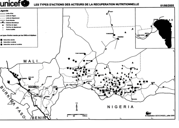
SummaryMap of the Departments of Tahoua Region, following the changes in administrative naming 1999-2005, with the addition of Abalak Department: a new subdivision created from the Tchin-tabaraden Department. Derived from Map of the arrondissements of Tahoua department in Niger. Created by Rarelibra 18:37, 13 September 2006 (UTC) for public domain use, using MapInfo Professional v8.5 and various mapping resources. See: fr:Tahoua (région) and en:Departments of Niger Image:Tahoua arrondissements.png http://www.senat.fr/rap/r04-512/r04-5128.gif Unicef Map http://www.fao.org/ag/agl/agll/wocat/wqasum.asp?questid=NIG05 FAO report http://www.fao.org/ag/agl/agll/wocat/img/qtnig7d.jpg FAO Map http://fr.wikipedia.org/wiki/Tahoua_%28r%C3%A9gion%29 Tahoua (région) * Département de Abalak Superficie: 77 445 km² (1) Population: 80 777 hts Centre urbaine: Ville d'Abalak |
| Data | (UTC) |
| Origem | |
| Autor |
|
| Outras versões |
|

| Esta é uma imagem retocada, o que significa que a versão original foi alterada digitalmente. Modificações: added subdivision. O original pode ser visto aqui: Tahoua arrondissements.png: File:Tahoua arrondissements.png. Modificações feitas por T L Miles.
|
| Eu, titular dos direitos de autor desta obra, dedico-a ao domínio público, com aplicação em todo o mundo. Nalguns países isto pode não ser legalmente possível; se assim for: Concedo a todos o direito de usar esta obra para qualquer fim, sem quaisquer condições, a menos que tais condições sejam impostas por lei. |
Registo de carregamento original
This image is a derivative work of the following images:
- Image:Tahoua_arrondissements.png licensed with PD-self
- 2006-11-10T12:48:31Z Béka 1056x816 (23579 Bytes) {{Information| |Description= == Summary == Map of the arrondissements of Tahoua department in Niger. Created by [[:en:User:Rarelibra|Rarelibra]] 18:37, 13 September 2006 (UTC) for public domain use, using MapInfo Professional
Carregada com derivativeFX
Histórico do ficheiro
Clique uma data e hora para ver o ficheiro tal como ele se encontrava nessa altura.
| Data e hora | Miniatura | Dimensões | Utilizador | Comentário | |
|---|---|---|---|---|---|
| atual | 18h48min de 19 de junho de 2008 | | 1 056 × 816 (24 kB) | T L Miles | {{Information |Description=== Summary == Map of the Departments of Tahoua Region, following the changes in administrative naming 1999-2005, with the addition of Abalak Department: a new subdivision created from the Tchin-tabaraden Department. Derived f |
Utilização local do ficheiro
As seguintes 2 páginas usam este ficheiro:
Utilização global do ficheiro
As seguintes wikis usam este ficheiro:
- da.wikipedia.org
- de.wikipedia.org
- en.wikipedia.org
- es.wikipedia.org
- fr.wikipedia.org
- ha.wikipedia.org
- ja.wikipedia.org
- lv.wikipedia.org
- ro.wikipedia.org
- ru.wikipedia.org
- tr.wikipedia.org
- ur.wikipedia.org
- www.wikidata.org
Ver mais utilizações globais deste ficheiro.