Ficheiro:USACE Lower Monumental Dam.jpg

Dimensões desta antevisão: 800 × 561 píxeis. Outras resoluções: 320 × 224 píxeis | 640 × 448 píxeis | 1 024 × 717 píxeis | 1 280 × 897 píxeis | 1 500 × 1 051 píxeis.
Imagem numa resolução maior (1 500 × 1 051 píxeis, tamanho: 536 kB, tipo MIME: image/jpeg)
|
|
Esta imagem provém do Wikimedia Commons, um acervo de conteúdo livre da Wikimedia Foundation que pode ser utilizado por outros projetos.
|
| Descrição |
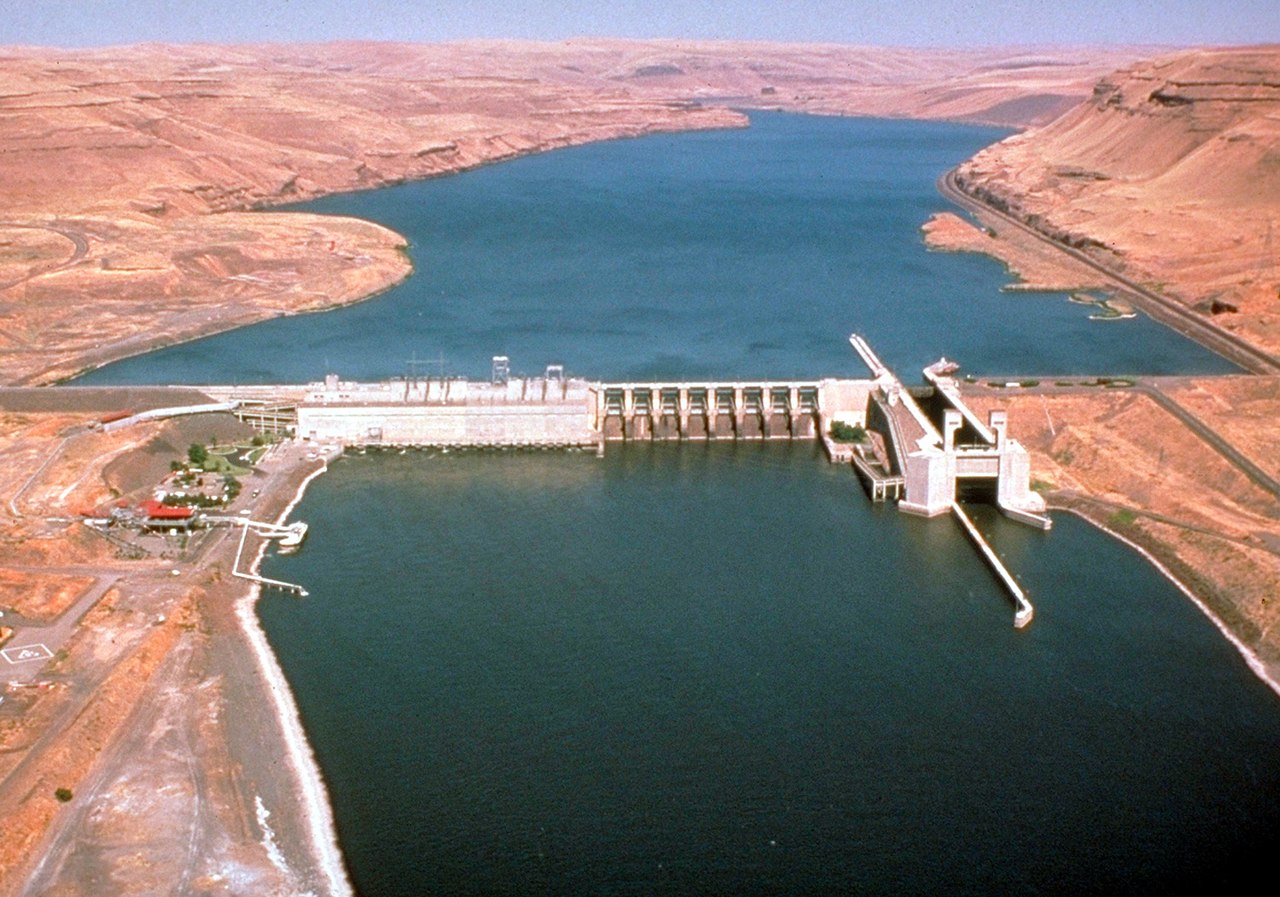
English: Lower Monumental Lock and Dam on the Snake River, Washington, USA. The river is the border between Franklin County to the north (left) and Walla Walla County (right). View is upriver to the northeast. |
|||
| Data | ||||
| Origem |
U.S. Army Corps of Engineers Digital Visual Library Image page Image description page Digital Visual Library home page |
|||
| Autor | U.S. Army Corps of Engineers, photographer not specified or unknown | |||
| Permissão (Reutilizar este ficheiro) |
|
| Localização da câmara | | Esta e outras imagens nas suas localizações em: OpenStreetMap |
|---|
Histórico do ficheiro
Clique uma data e hora para ver o ficheiro tal como ele se encontrava nessa altura.
| Data e hora | Miniatura | Dimensões | Utilizador | Comentário | |
|---|---|---|---|---|---|
| atual | 21h27min de 1 de abril de 2007 | | 1 500 × 1 051 (536 kB) | DanMS | {{Information | Description = {{en|Lower Monumental Lock and Dam on the Snake River, Washington, USA. View is upriver to the northeast.}} | Source = U.S. Army Corps of Engineers Digital Visual Library<br />[http://images.usace.army.mil/images/H |
Utilização local do ficheiro
A seguinte página usa este ficheiro:
Utilização global do ficheiro
As seguintes wikis usam este ficheiro:
- ceb.wikipedia.org
- de.wikipedia.org
- en.wikipedia.org
- es.wikipedia.org
- fr.wikipedia.org
- no.wikipedia.org
- ru.wikipedia.org
- uk.wikipedia.org
- www.wikidata.org